Spatial Analysis
Mapping stories of place to inform decisions
Asia Resilient Cities
Served as global GIS advisor on the five-year USAID-funded ARC project, guiding five city teams in leveraging spatial data to analyze the built environment, natural landscape, and human activity. Assisted teams in raster and vector analysis, network analysis, spatial modeling, and map generation.
Food Truck Evaluation
Lead GIS analyst for the YMCA of Greater Boston’s Mobile Market Food Truck evaluation, identifying optimal distribution locations to enhance food access. Developed a data-driven methodology to assess need, inform strategic placement, and support equitable food distribution.
African-American Health Equity Initiative
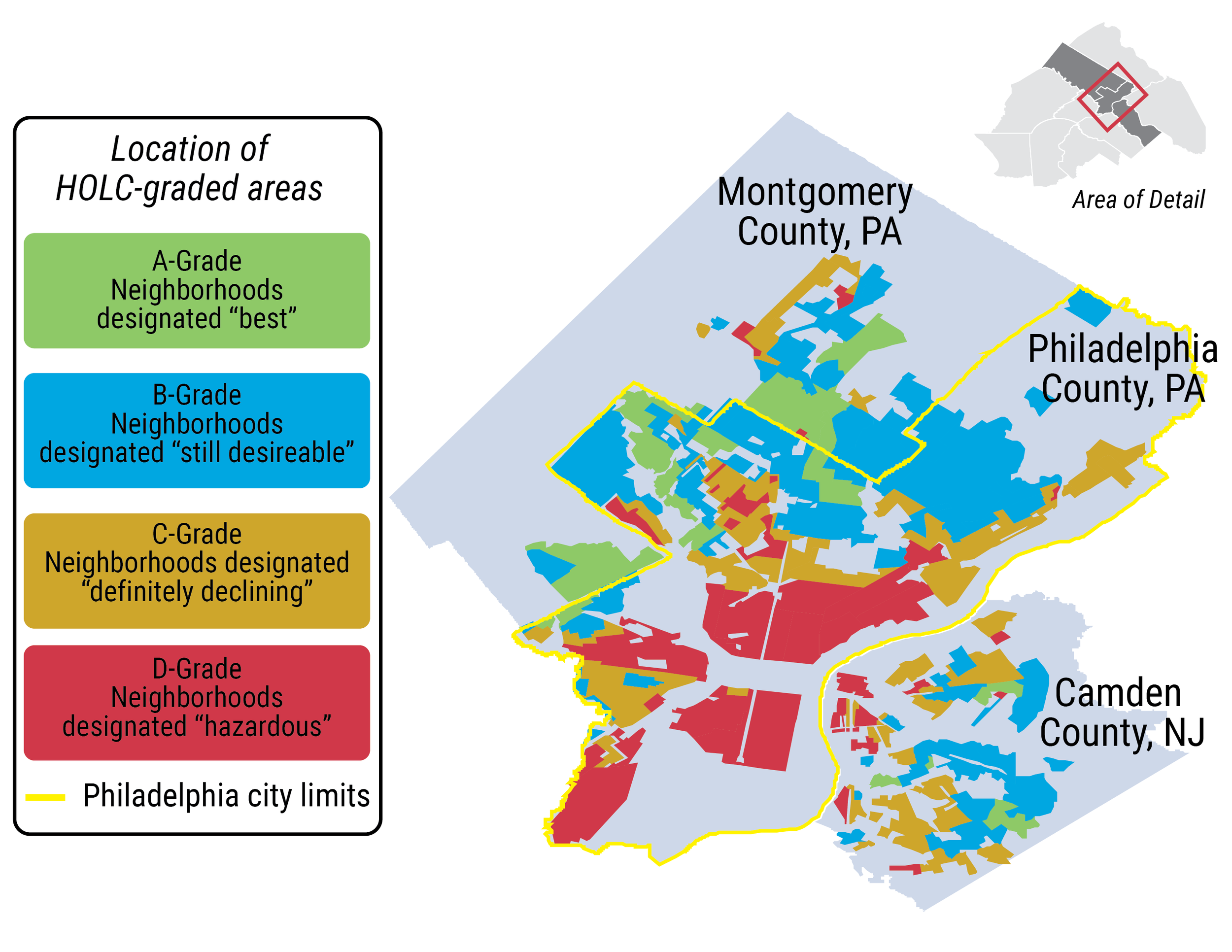
Led quantitative data collection, analysis, an visualization for a national, mixed-methods study of breast cancer disparities in twelve metro areas. Elevated relationships between geography, structural racism, and health outcomes using maps, data dashboards, and conceptual modeling. Information here.
HRSA Health Equity Maps
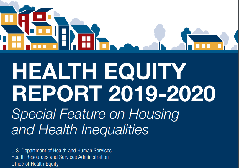
Created choropleth maps for the Health Resources and Services Administration to convey geographies of health determinants and health outcomes. Cleaned and visualized census data, service records, and private datasets.
© 2025 Alison Salomon.
All rights reserved.


